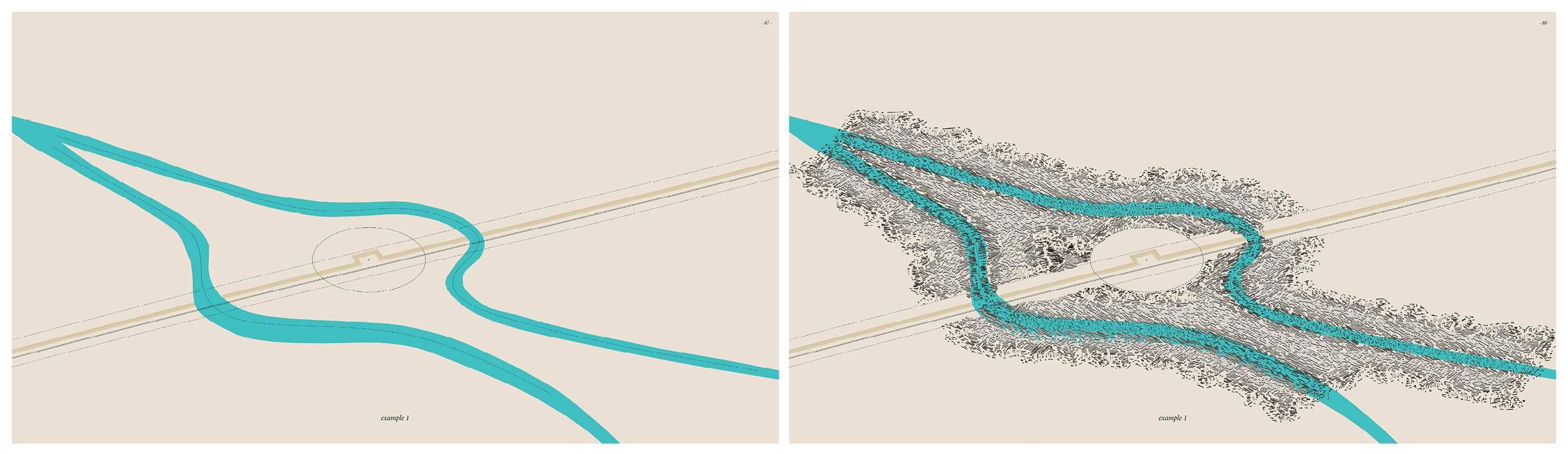
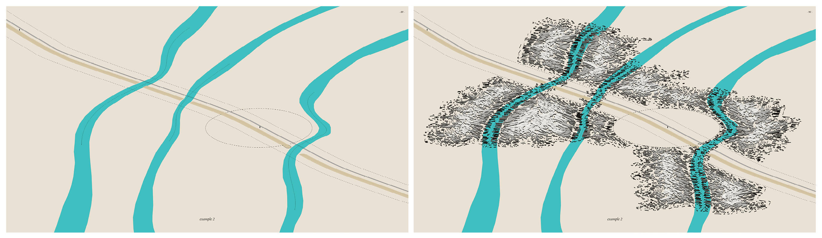
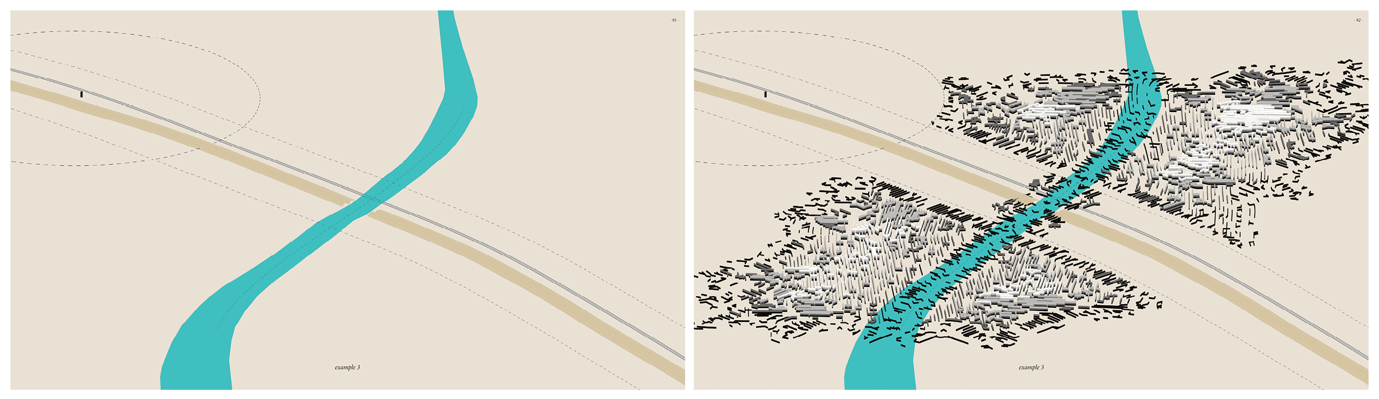
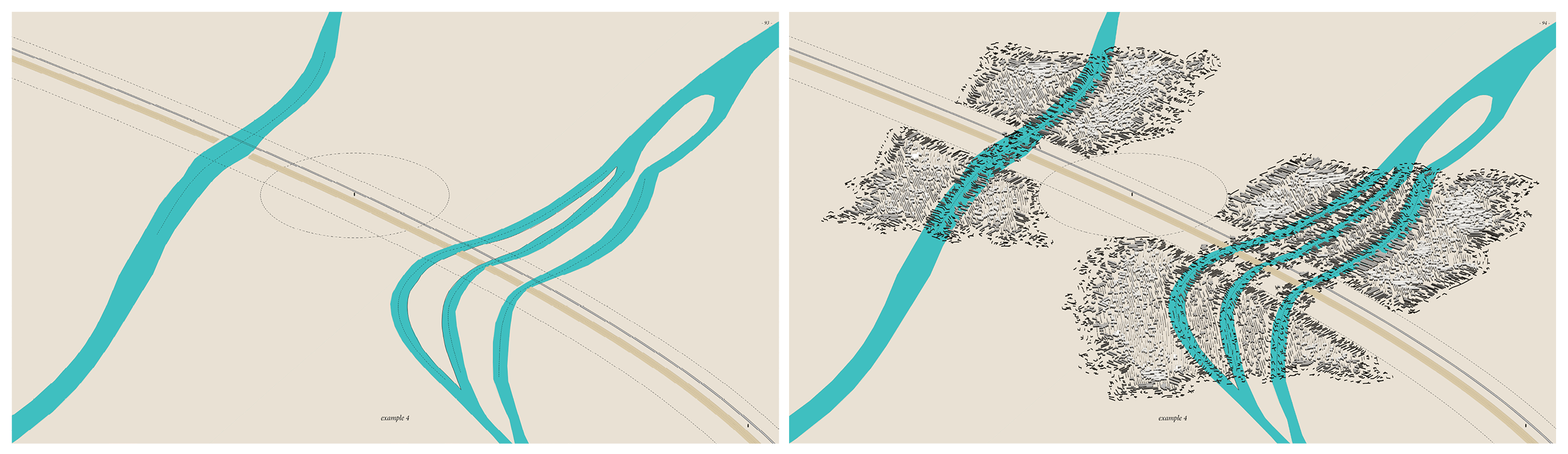
THE GENERATOR
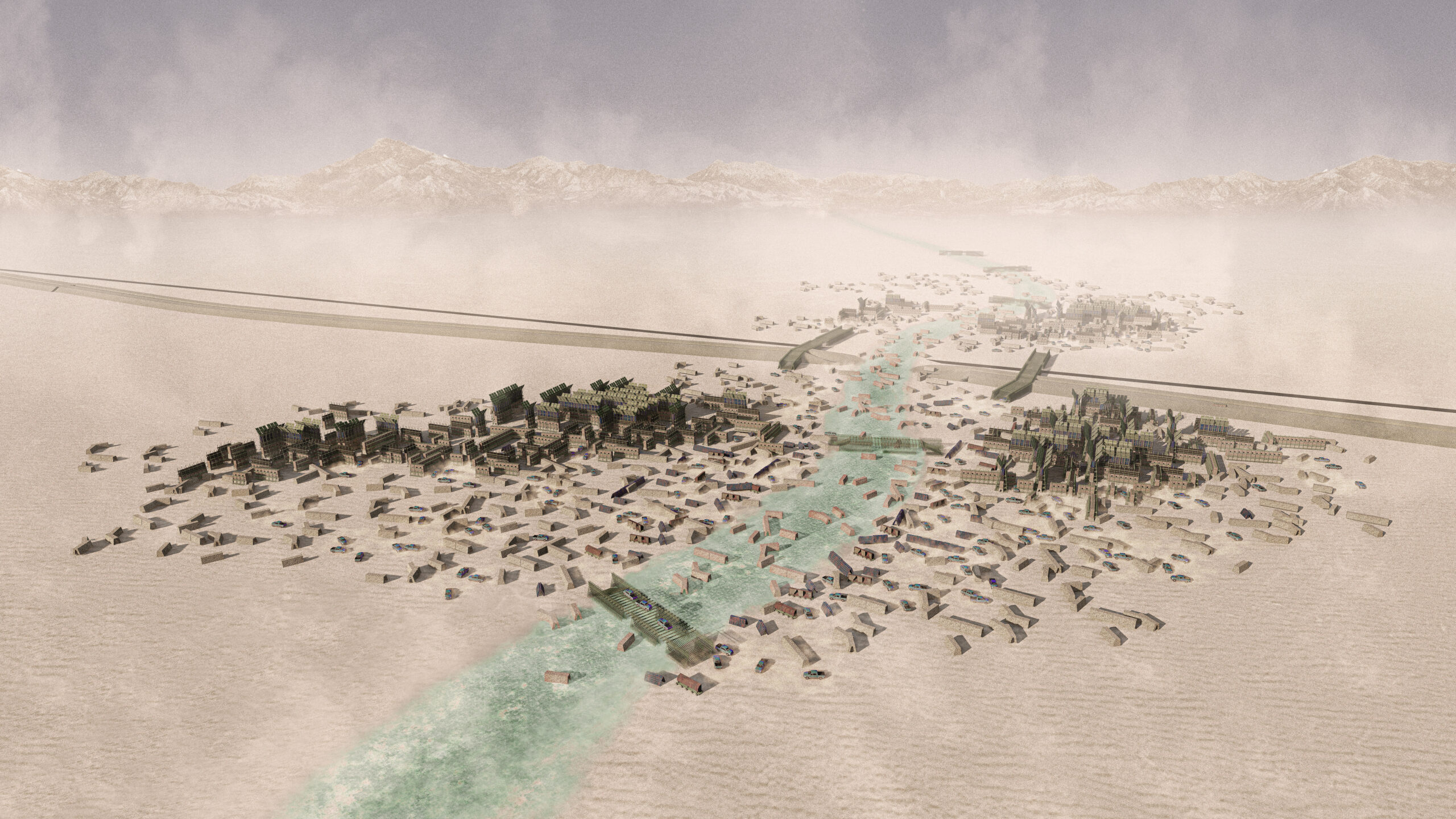
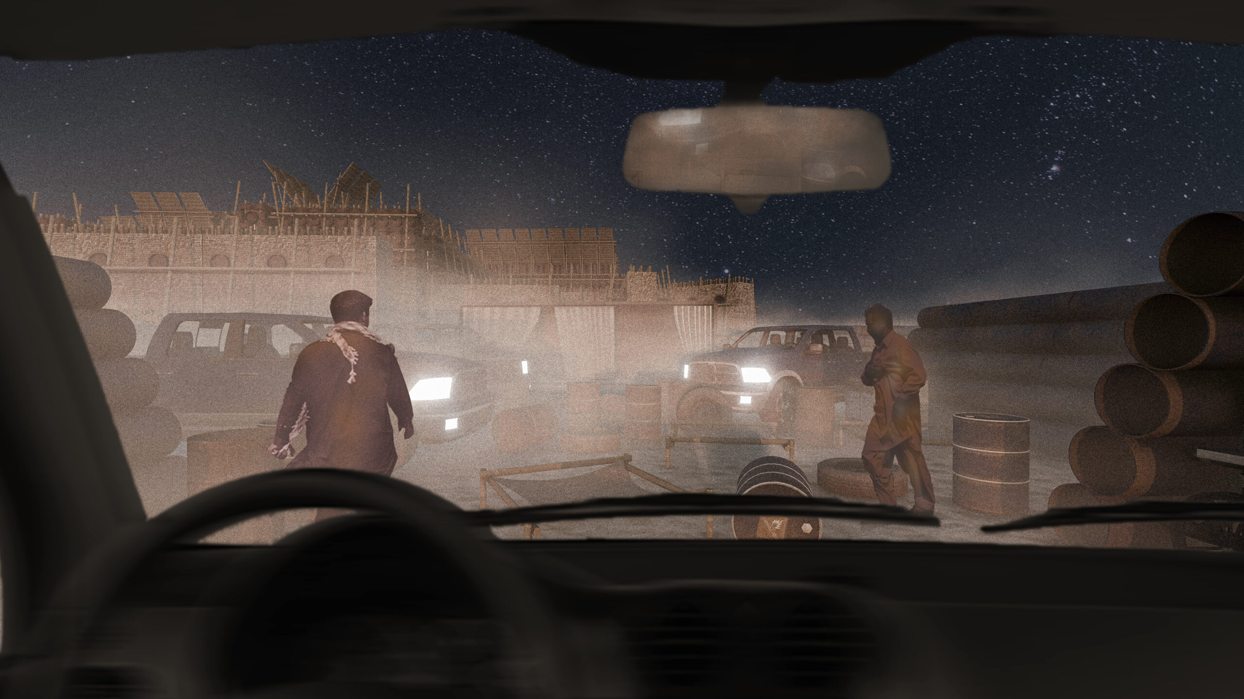
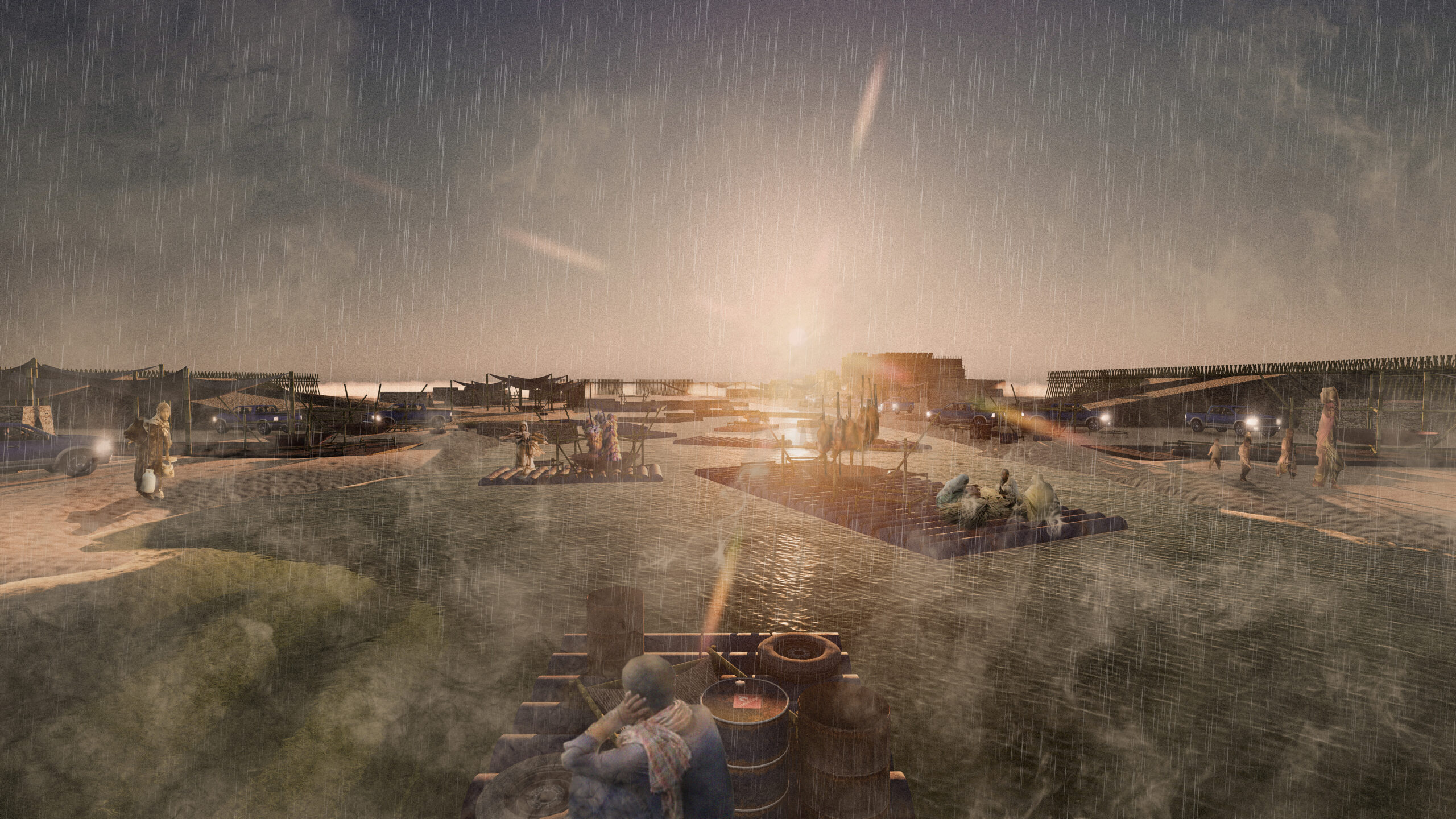
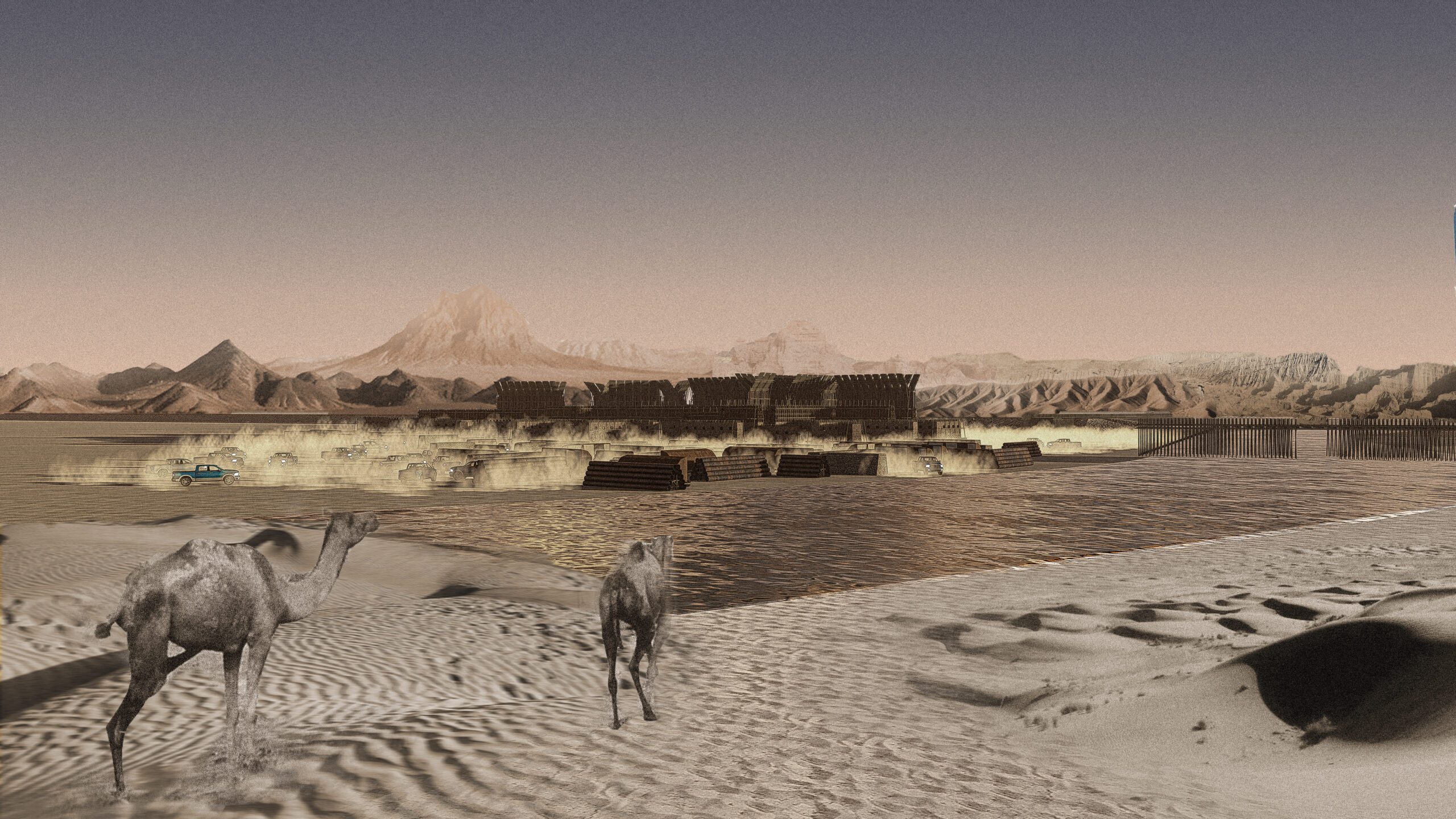
To accommodate the spatial strategy to the site-specific conditions, the grasshopper script was created. The algorithm generates instances of settlement layout based on the following variables such as location of the specific gap indicated in the course of the border, the trace path of the riverbed footprint, or the minimal desired distance of the planned settlement edge from the existing fortifications or observation towers. Additionally, the algorithm organizes the gradation of the settlement’s density and suggests the optimal height of walls. The least dense areas composed of the shortest walls are generated along the riverbed and on the edges. These create less clandestine areas along the river that will enable them to trade, socialize, grow food, and move without physical obstacles. On the contrary, the highest walls are generated in the heart of the settlement, forming the most dense clandestine areas, providing a sense of conspiracy and anonymity when necessary, and at the same time granting permanent shade in the habitation area. This way, countless original quasi-urban structures can be generated.
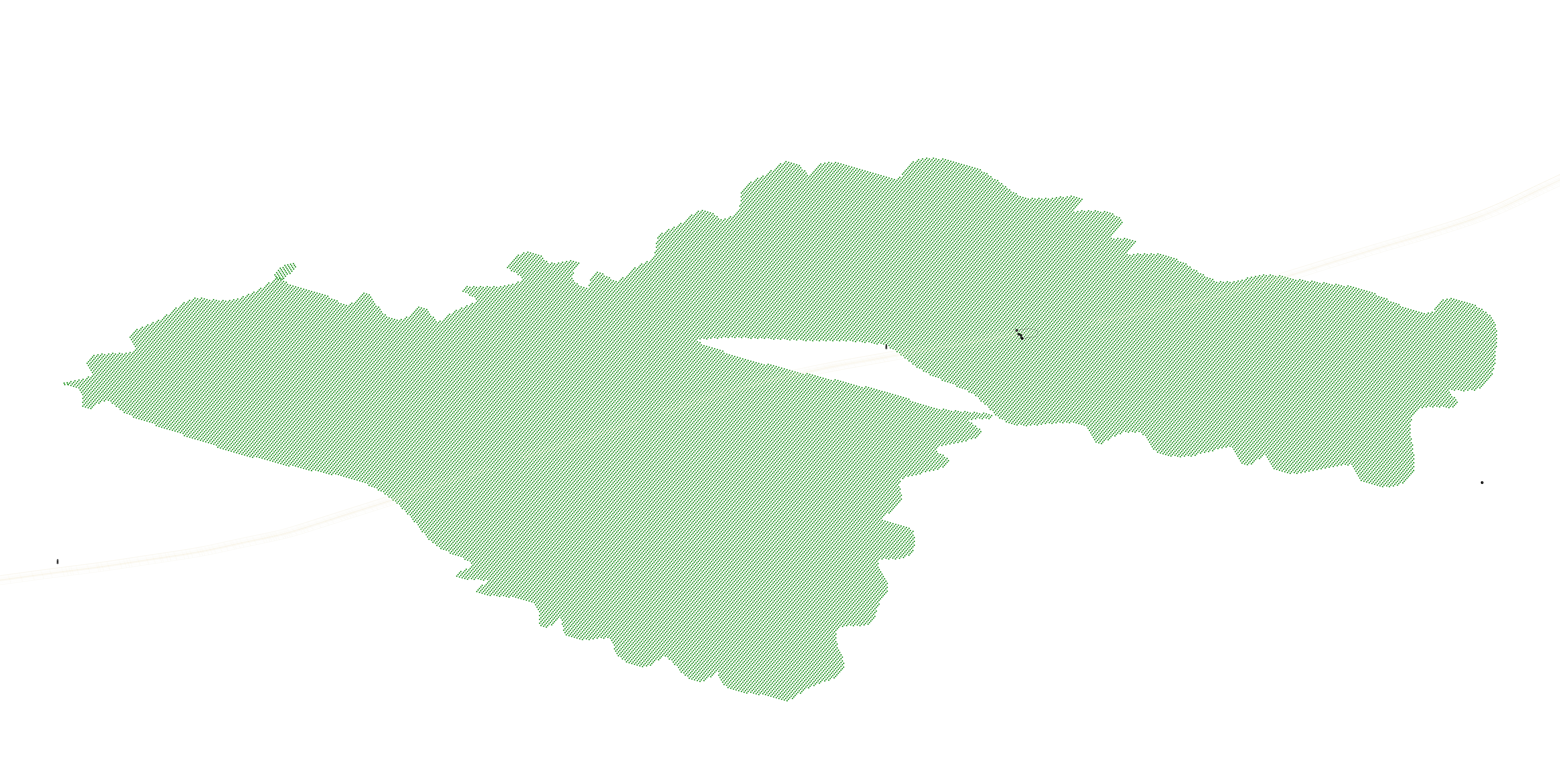
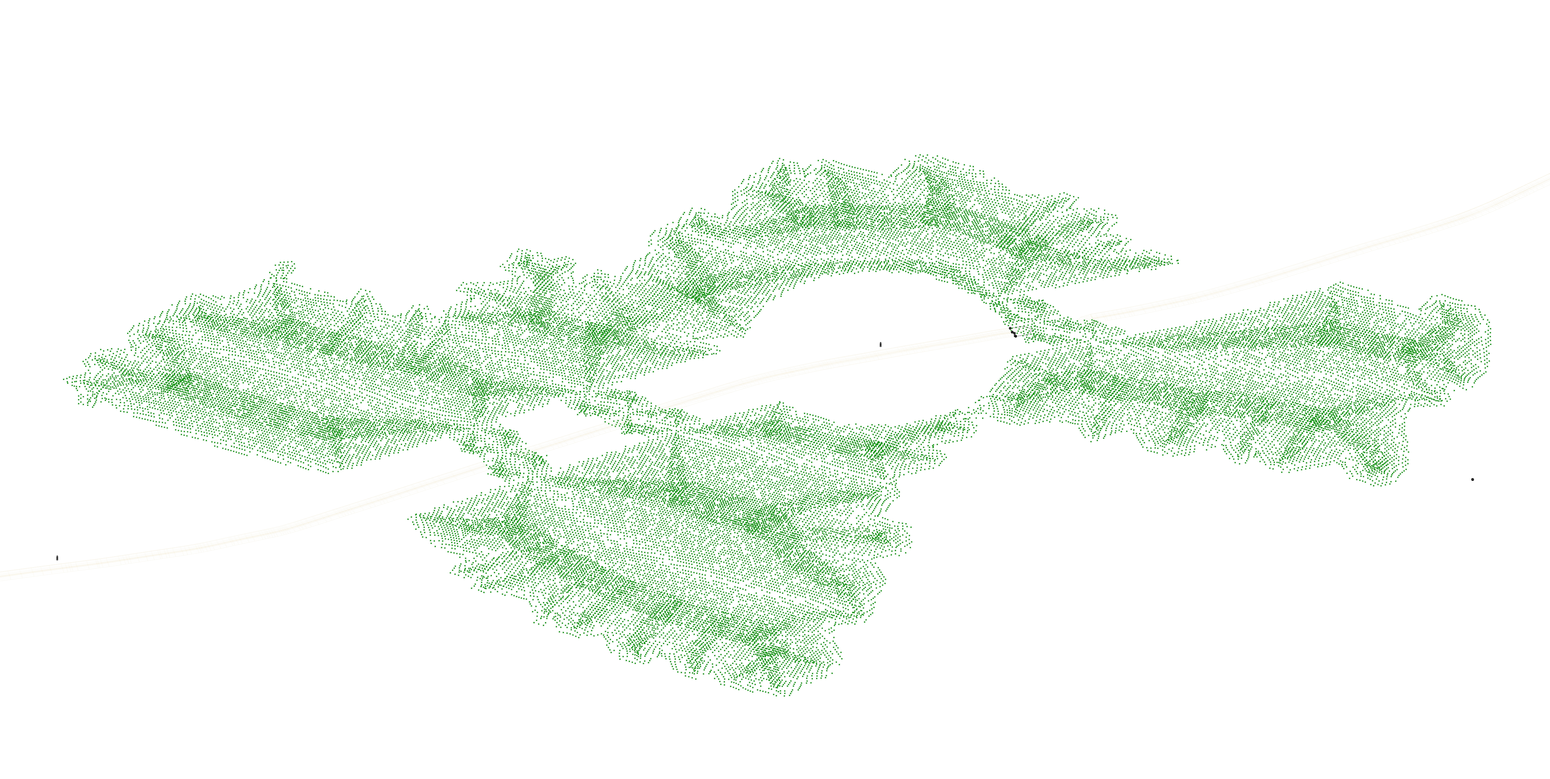
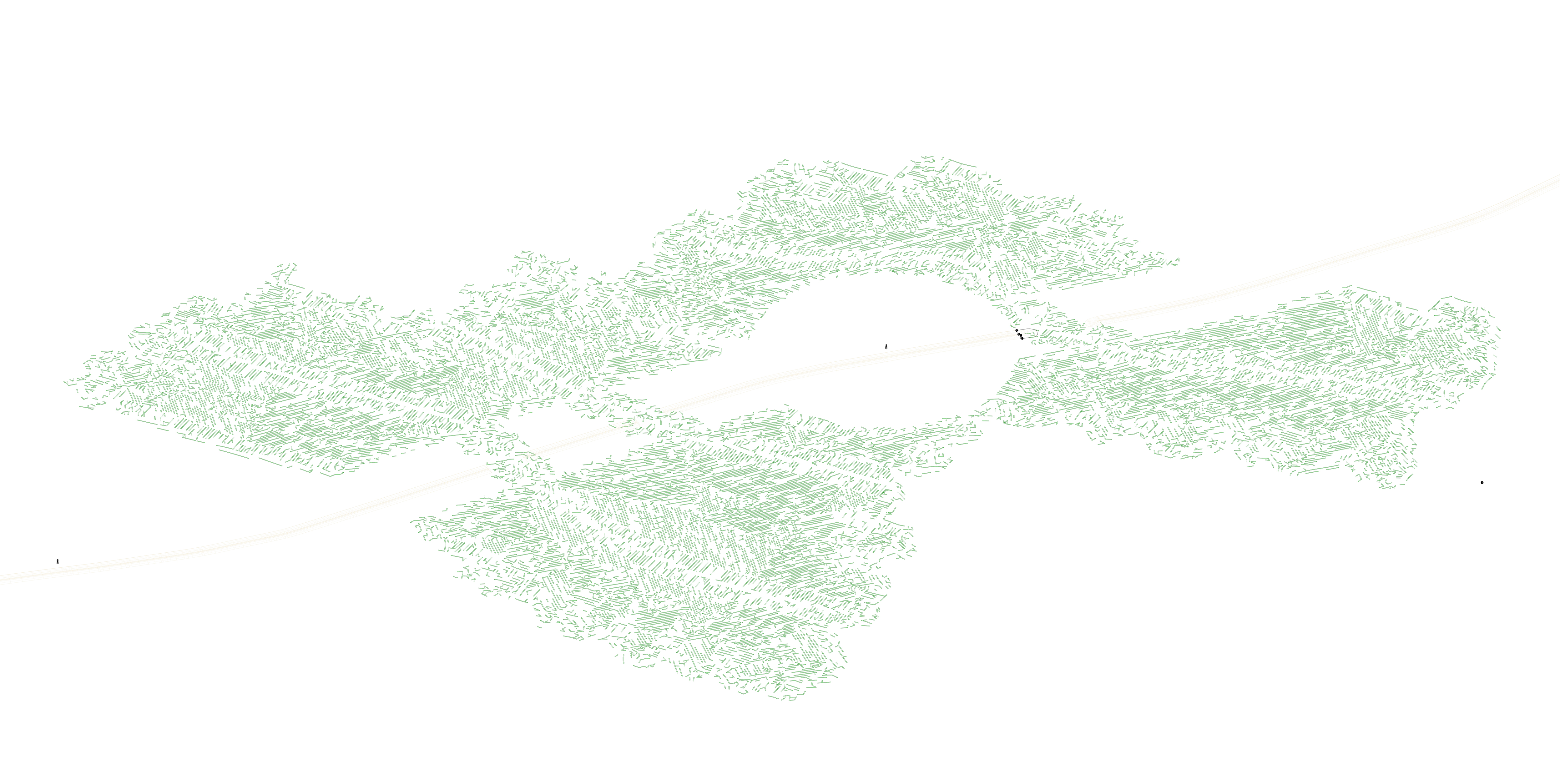
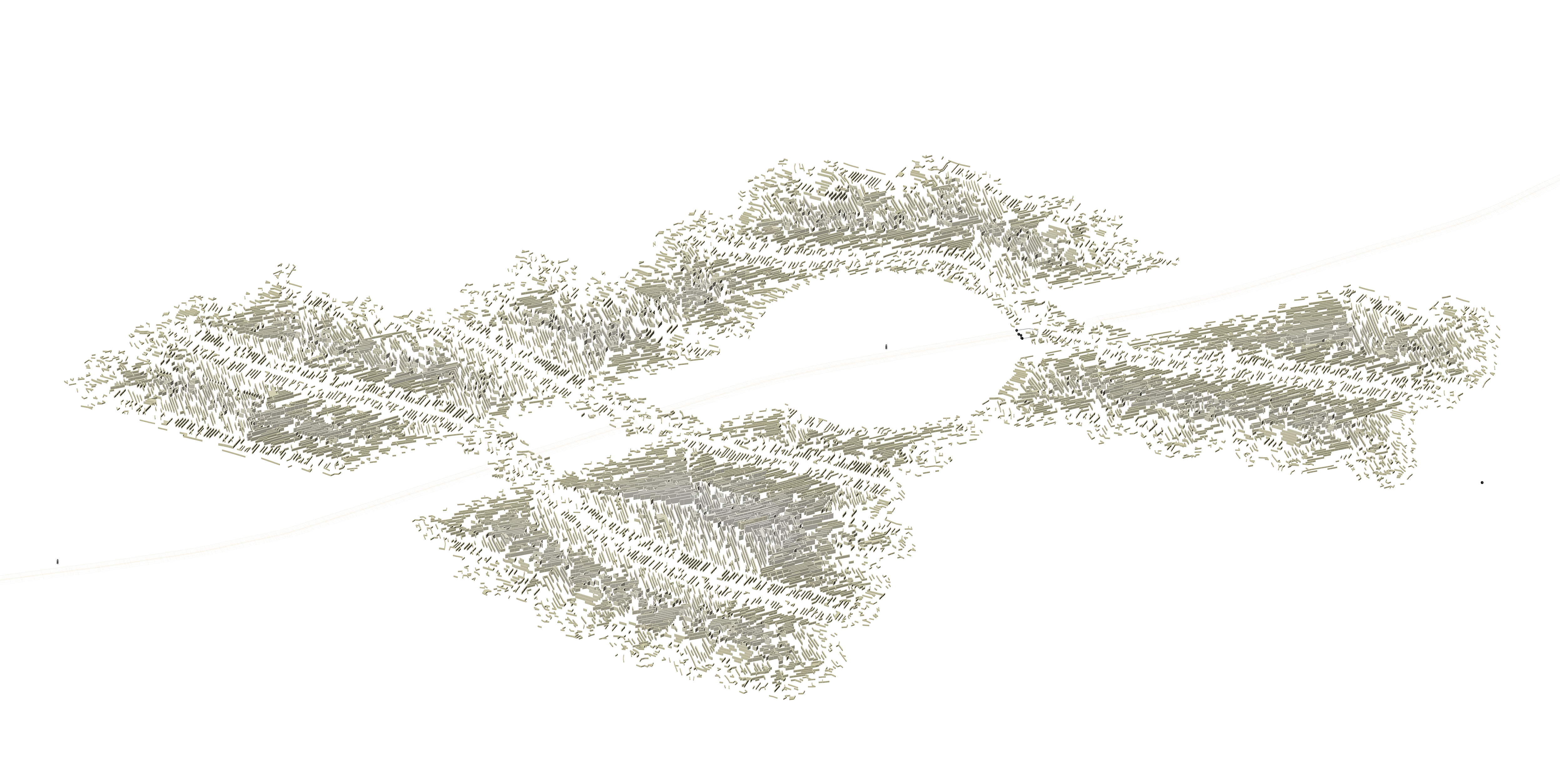
Instances of Walls Settlement Generations According to Particular Sites Along the Border